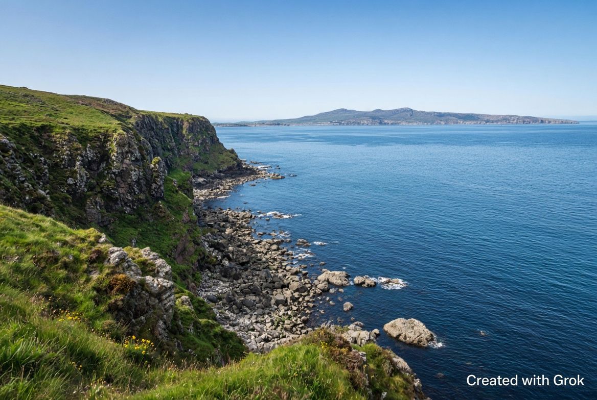
Torr Head
A narrow coastal road with views to Scotland.
The Torr Head Scenic Route is a road of about 22 km on the coast of County Antrim. It is signposted at Cushendun and Ballyvoy and ends with the descent into Cushendun.
What you see
At Torr Head stand the ruins of the old customs house and a former signalling station. From Greenamore Mountain you see across to the Mull of Kintyre in Scotland. Other points along the route are Port-aleen harbour with its old salmon fishery, Loughan Bay, Altagore Cashel, O'Neill's Cairn and the ruin of Carra Castle. Lanes branch off the route to Fair Head and Murlough Bay.
Driving and parking
The road is two-way with unlined sections, windy, narrow in places and with steep climbs. The road down to the Torr Head car park is single lane. It is a working road with farm machinery, sheep and oncoming traffic. It is not suitable for coaches, RVs or mini-coaches. The source points out that many wing mirrors have been lost here.
The Torr Head car park is a cul-de-sac with little room to turn and gets congested at peak times. The tides around Torr Head can be dangerous.
Practical information
- Route
- about 22 km, signposted at Cushendun and Ballyvoy
- Vehicles
- not suitable for coaches, RVs or mini-coaches
- Parking
- Torr Head car park, cul-de-sac, congested at peak times
Information as of 18 November 2026.